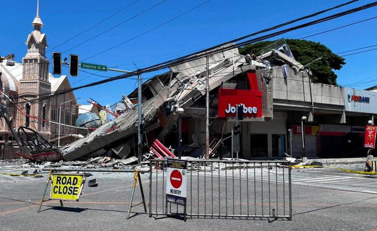
A magnitude-7.8 earthquake rocked the southern Philippines early Monday, prompting authorities to issue tsunami alerts and evacuate residents in vulnerable coastal areas, according to Reuters.
The Philippine Institute of Volcanology and Seismology (PHIVOLCS) reported that the 7.8-magnitude earthquake took place at 7:37 a.m. local time, with its epicenter situated 13 kilometers southwest of General Santos City on Mindanao Island and a focal depth of 10 kilometers.
Authorities reported power outages in several areas and urged coastal residents to move to higher ground amid fears of potential tsunami waves.
“We advise people to evacuate to higher grounds or go further inland,” PHIVOLCS Director Teresito Bacolcol said.
Meanwhile, the Pacific Tsunami Warning Center (PTWC) warned that tsunami waves could reach up to 3 meters along parts of the Philippine coastline. At the same time, lower waves of up to 1 meter may also reach parts of Indonesia and Malaysia.
Moreover, the PTWC warned that smaller tsunami waves could also reach Taiwan, Japan, Guam, Papua New Guinea, and other Pacific Island nations and territories. It further confirmed that no tsunami threat has been issued for Hawaii or the US mainland.
Residents in Indonesia’s North Sulawesi and North Maluku provinces also reported strong tremors as the earthquake hit the region.
The US Geological Survey recorded a series of aftershocks, including one of magnitude 6.1, and placed the earthquake’s depth at 55 kilometers, stressing that differences in seismic readings are typical after major events.
Authorities reported no immediate casualties or major structural damage in the aftermath of the earthquake.
Related Topics:
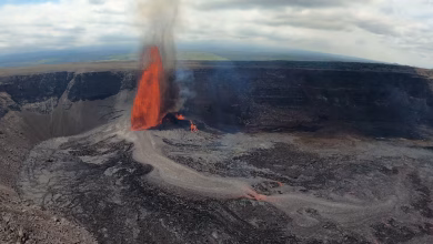
6.0 Magnitude Earthquake Strikes Hawaii’s Big Island, No Tsunami Expected
6.1-Magnitude Earthquake Strikes Western Turkey
5.0-Magnitude Earthquake Shakes Istanbul